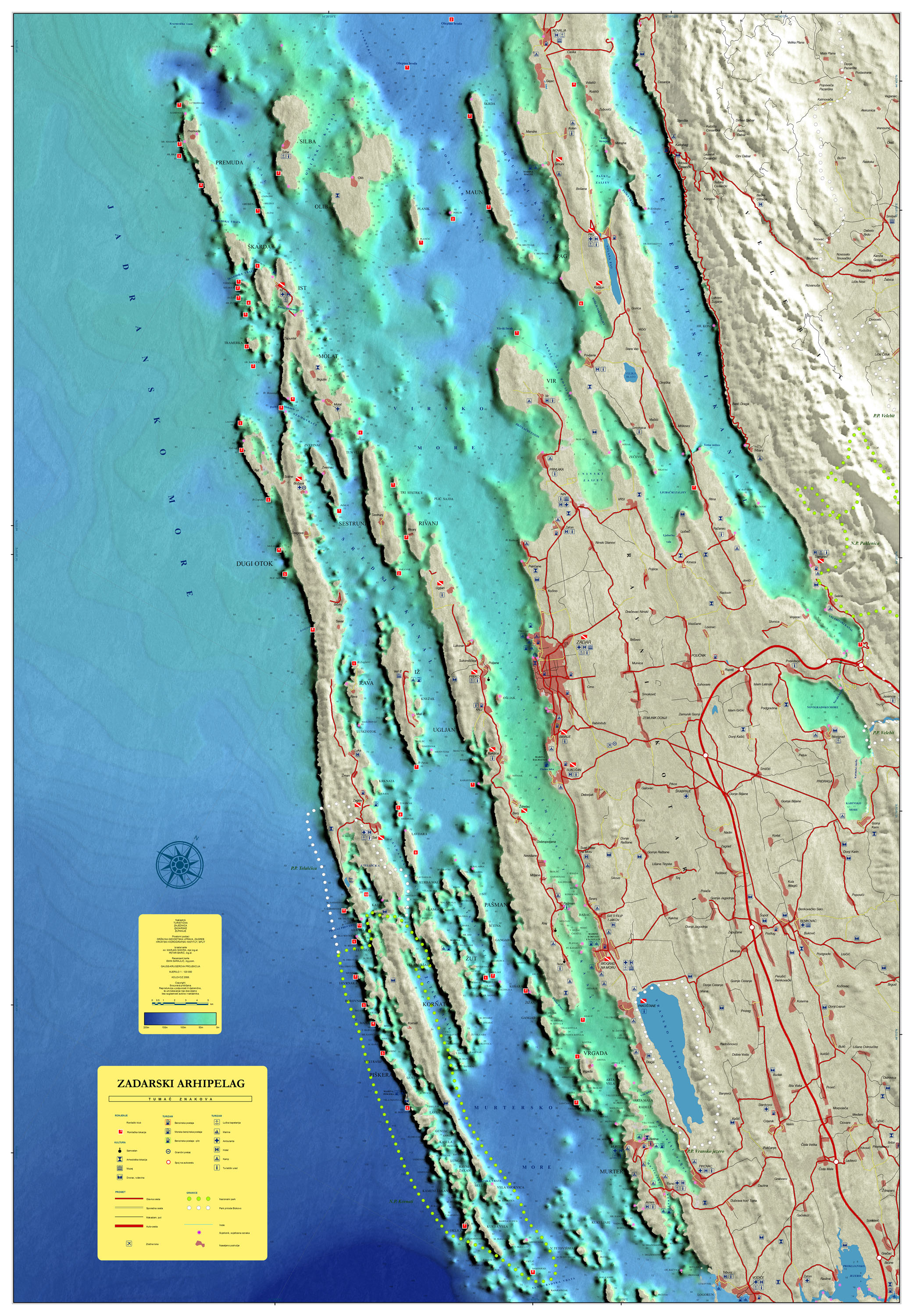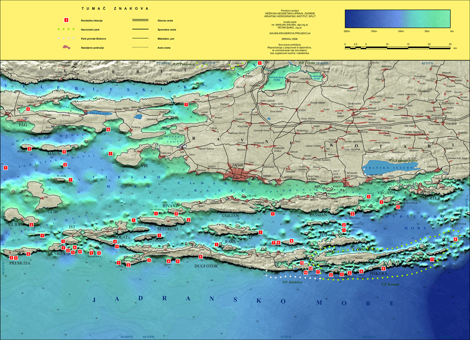
Two maps were made of Zadar Archipelago. The first one was a map showing the seafloor relief, with all scuba diving centers in Zadar area. It was made as a folding map and as a small map that was put inside the diving brochure.
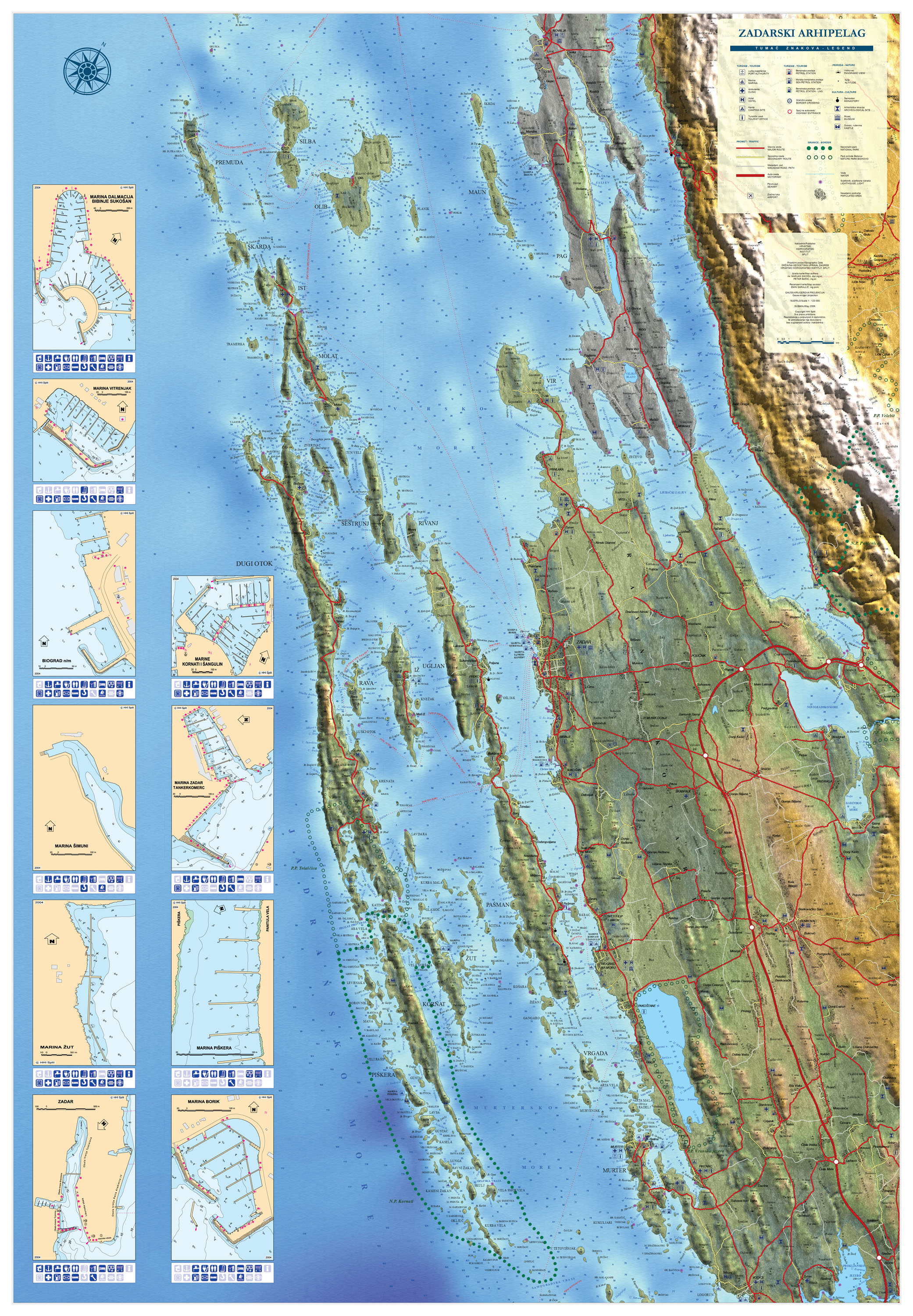
The second map was a general map with roads and places, and land shown as a shaded relief. This map contained plans of all marinas in Zadar area.